Description
Best Drone LiDAR Surveys in Atascadero, California
Looking for efficient and accurate underground utility mapping solutions in Atascadero, California? Look no further than Devco Development & Engineering – your trusted partner in comprehensive Drone LiDAR Surveys.
From ensuring the precise location of utilities to optimizing project planning, our cutting-edge Drone LiDAR Surveys provide a wealth of benefits for clients in Atascadero and across San Luis Obispo County. As a Disabled Veteran Business Enterprise (DVBE), with additional certifications like SDVOSB, PDBE, SB-Micro, and SB-PW, we bring a commitment to excellence and dedication to every project we undertake.
Experience the Power of Drone LiDAR Surveys
What Are Drone LiDAR Surveys?
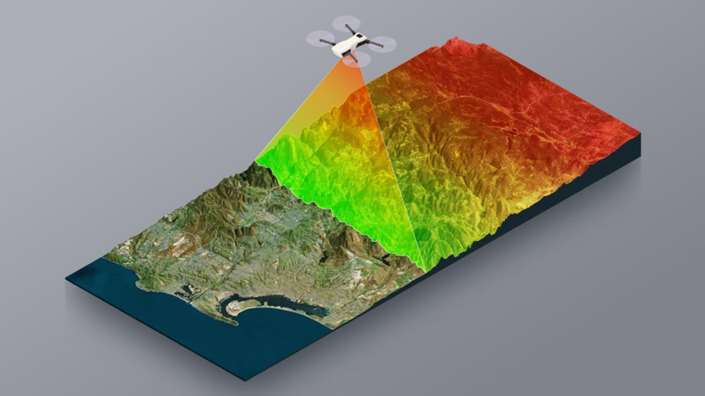
Drone LiDAR Surveys utilize state-of-the-art technology to capture highly detailed three-dimensional data of the surveyed area. By combining drone technology with Light Detection and Ranging (LiDAR), we can create precise maps and models of underground utilities without the need for extensive manual labor or disruption to the site.
Our Approach to Survey Atascadero
-
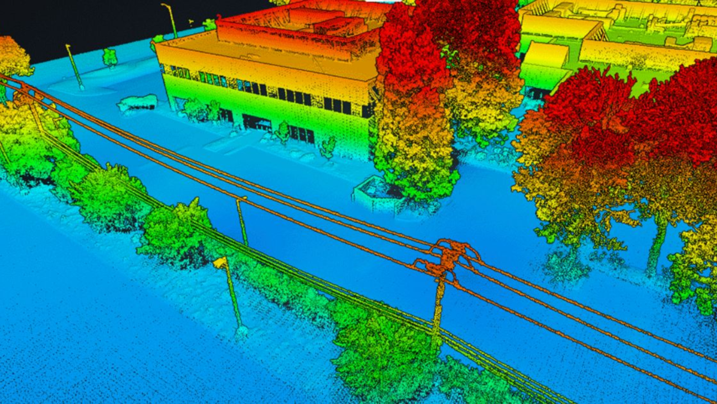
Accurate Data Collection: Our experienced team utilizes drones equipped with LiDAR to capture high-resolution aerial data of the project site.
-
Efficient Analysis: We employ advanced software to process the collected data and generate detailed maps and models of underground utilities.
-
Comprehensive Reporting: We provide clients with clear and concise reports that include essential information for project planning and decision-making.
Features of Our Drone LiDAR Surveys
-
High Precision: Our Drone LiDAR Surveys offer unparalleled accuracy, ensuring that underground utilities are precisely mapped.
-
Cost-Effective: By streamlining the data collection process, our surveys help reduce project costs and timelines.
-
Enhanced Safety: Minimize the risks associated with manual utility mapping by opting for our drone-based surveys.
Seeking Reliable Cost Estimates for Drone LiDAR Surveys?
If you are interested in learning more about the cost of Drone LiDAR Surveys in Atascadero, please visit our website at Devco Development & Engineering.
At Devco Development & Engineering, we understand the importance of efficient utility mapping in project success. Our General A Engineering Contractor license and General Contractor B license in California attest to our expertise in delivering top-notch services tailored to your needs.
For inquiries or to schedule a consultation, contact us at (951) 221-3633 or via email at Info@devco-inc.com. Discover the difference that our Drone LiDAR Surveys can make for your projects in Atascadero and beyond.
Listing Details
-
CategoryDrone LiDAR Surveys
-
CountySan Luis Obispo County
-
CityAtascadero
-
Contact EmailInfo@devco-inc.com
-
Phone Number(323) 347-3695
-
ServicesDrone LiDAR Surveys Atascadero, Survey Atascadero