Utility Mapping Services in Imperial County, California
Devco Development & Engineering offers specialized Utility Mapping Services in Imperial County, California, supporting infrastructure improvements, energy projects, agricultural operations, and commercial developments throughout the region. Imperial County’s desert environment, agricultural irrigation networks, and expanding utility corridors create unique underground conditions that require accurate subsurface documentation before excavation begins.
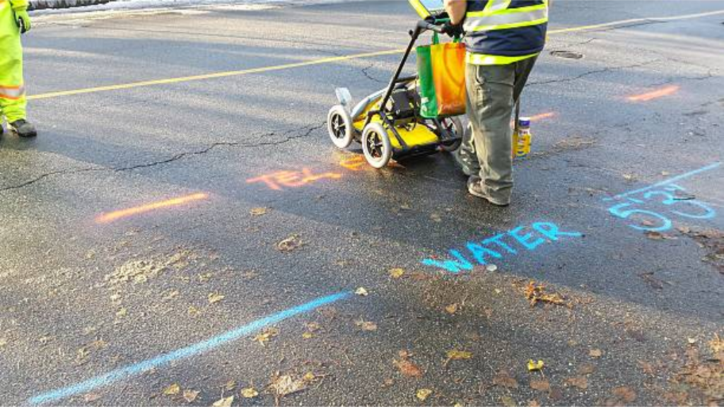
Utility mapping in Imperial County often involves identifying irrigation systems, buried power infrastructure, gas distribution lines, and municipal water systems that may not be fully documented. Our team provides field-verified mapping services designed to reduce uncertainty and improve construction planning.
Advanced Subsurface Investigation
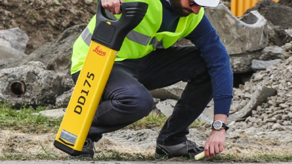
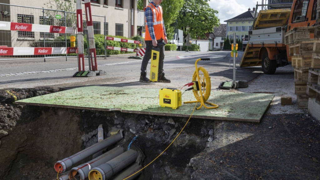
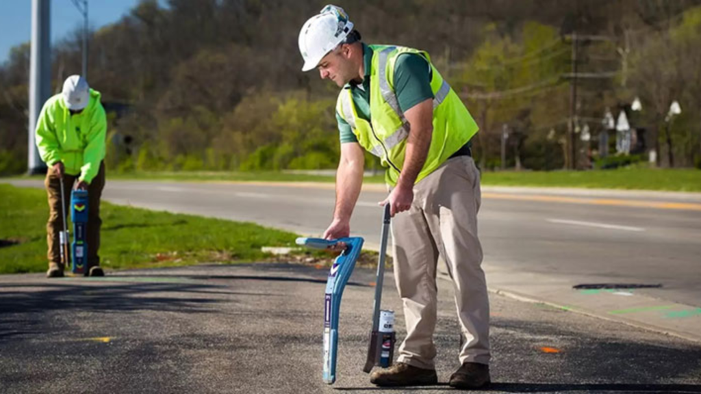
We utilize a combination of Ground Penetrating Radar (GPR), electromagnetic locating equipment, and GPS data collection to identify underground utilities and capture their locations with precision. Because non-metallic infrastructure such as PVC irrigation lines is common in agricultural environments, GPR plays a key role in detecting utilities that traditional locating methods may miss.
Our services typically include:
- Private and public utility locating
- Depth estimation and horizontal positioning
- GPS coordinate collection for mapping accuracy
- Digital CAD utility base map preparation
- Identification of abandoned or undocumented utilities
- Pre-construction conflict evaluation
Supporting Energy and Agricultural Projects
Imperial County is known for large-scale agricultural production and energy infrastructure development. Utility mapping supports solar installations, irrigation upgrades, municipal improvements, and roadway construction. Early identification of underground utilities helps avoid costly redesigns and protects critical services.
In remote or rural areas, utilities may not follow standardized layouts. Our field-driven approach ensures that underground infrastructure is properly identified and documented before heavy equipment mobilizes on site.
Construction-Focused Utility Mapping
As both engineers and licensed contractors, Devco approaches utility mapping with practical construction knowledge. We understand how subsurface conditions affect trenching, directional boring, grading, and structural work. Our mapping deliverables are organized and usable, allowing design teams and field crews to coordinate efficiently.
For reliable Utility Mapping Services in Imperial County, Devco provides the clarity and accuracy required to protect infrastructure and keep projects on schedule.