Utility Mapping Services in Mariposa County, California
Devco Development & Engineering provides dependable Utility Mapping Services in Mariposa County, California, supporting municipal projects, rural infrastructure improvements, and private development throughout the region. With mountainous terrain, rural communities, and varying soil conditions, Mariposa County requires a strategic approach to underground utility identification and documentation.
In rural and less densely developed areas, underground utilities may be limited but inconsistently documented. Private utility systems, water distribution lines, and older infrastructure installations often lack accurate mapping. Devco performs field-driven investigations to provide reliable subsurface data before excavation begins.
Comprehensive Subsurface Utility Documentation
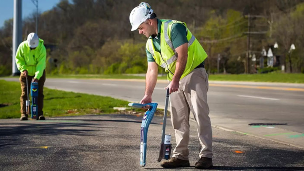
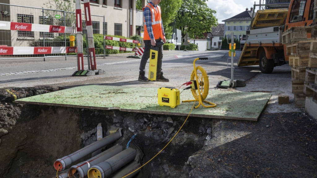
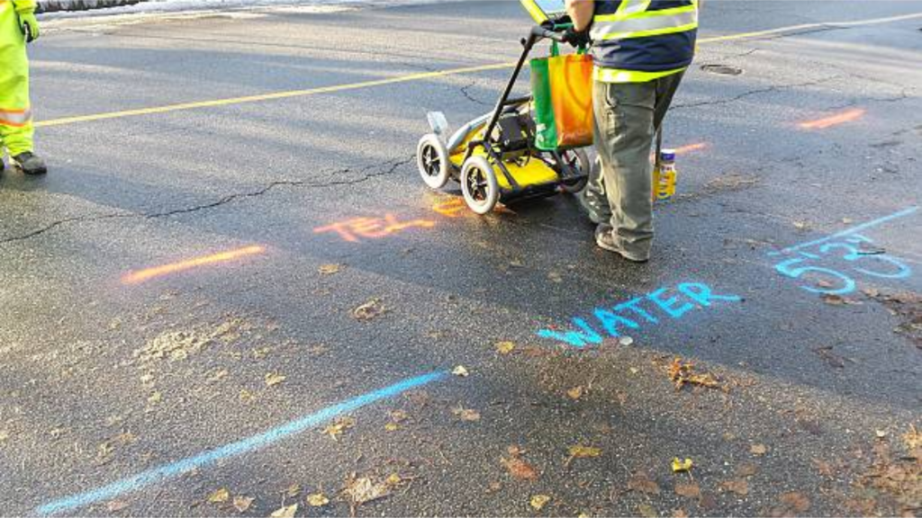
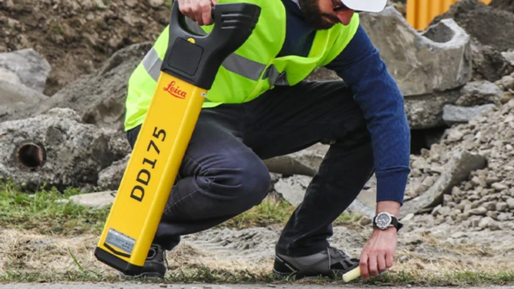
Our utility mapping services combine advanced locating technology with precise drafting to produce detailed utility base maps. We use Ground Penetrating Radar (GPR) to detect both metallic and non-metallic utilities and electromagnetic locating equipment to trace conductive infrastructure.
Services include:
- Field verification of underground utilities
- Locating water, sewer, gas, electric, and telecom systems
- GPS data capture for accurate positioning
- CAD drafting of utility base maps
- Identification of undocumented or abandoned utilities
- Support for engineering and design coordination
Supporting Rural Development and Infrastructure Projects
Projects in Mariposa County often involve roadway upgrades, municipal facility improvements, private property development, and utility extensions. Accurate utility mapping reduces uncertainty, prevents accidental damage, and improves overall project efficiency.
By identifying underground constraints early, Devco helps clients make informed decisions during the planning and design phases.
Construction-Ready Results
With extensive construction and engineering experience, Devco understands how critical reliable subsurface data is to project success. Our mapping services are practical, clearly documented, and tailored to each site’s unique conditions.
For Utility Mapping Services in Mariposa County, Devco delivers accurate underground documentation that supports safe and efficient excavation.