Utility Mapping Services in Merced County, California
Devco Development & Engineering delivers accurate and field-verified Utility Mapping Services in Merced County, California, helping contractors, municipalities, engineers, and developers clearly understand underground infrastructure before excavation or construction begins. As Merced County continues to expand with residential growth, infrastructure upgrades, and agricultural improvements, accurate subsurface documentation plays a critical role in project success.
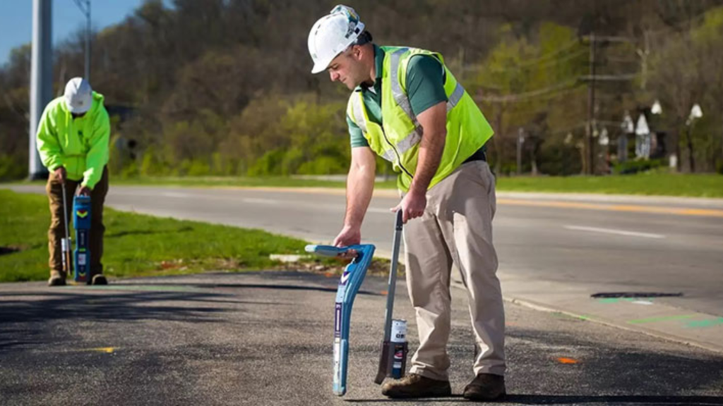
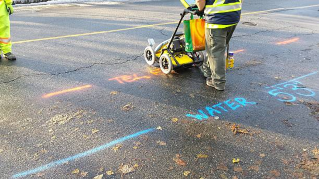
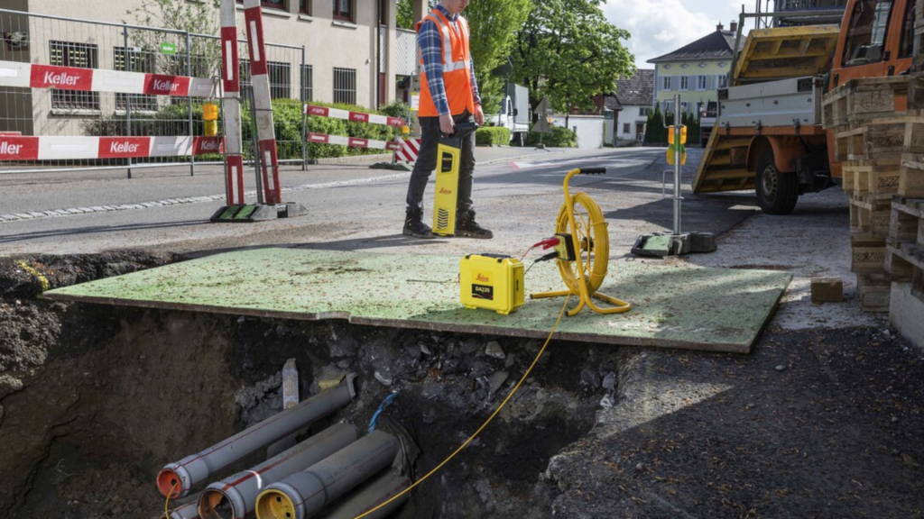
Utility mapping is the process of identifying, locating, documenting, and digitally drafting underground utilities to support safe excavation and informed engineering design. In areas where irrigation systems, municipal lines, and private utilities intersect, relying solely on record drawings can lead to costly surprises. Our team performs on-site investigations to verify real-world conditions and provide dependable mapping data.
Full-Scope Underground Utility Investigation
Merced County includes agricultural properties, commercial corridors, transportation routes, and expanding subdivisions. Each site presents unique underground challenges. Devco applies a combination of advanced locating technologies to ensure accurate detection.
Our services include:
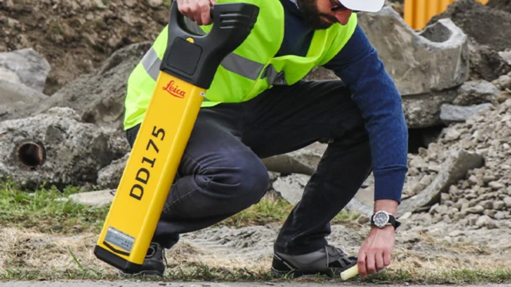
- Ground Penetrating Radar (GPR) scanning for non-metallic utilities
- Electromagnetic locating for conductive lines
- Identification of irrigation, water, sewer, gas, electric, and telecom systems
- GPS data collection for precise positioning
- Preparation of CAD-based utility base maps
- Subsurface utility conflict analysis for design planning
Supporting Agricultural and Urban Development
Agricultural irrigation networks are widespread throughout Merced County and are often undocumented or privately maintained. Our mapping services help prevent accidental damage during grading, trenching, or infrastructure upgrades. In urban and suburban areas, layered utilities require careful coordination before new development begins.
By providing verified underground data early in the planning phase, Devco helps reduce change orders, prevent service disruptions, and improve project efficiency.
Construction-Oriented Mapping Solutions
As a licensed General A Engineering Contractor and General Contractor B in California, Devco understands how subsurface conditions affect construction timelines and budgets. Our mapping deliverables are organized, clear, and ready for integration into engineering and survey plans.
For professional Utility Mapping Services in Merced County, Devco delivers accurate, practical, and construction-ready documentation.