Utility Mapping Services in San Francisco County
Utility Mapping Services in San Francisco County
Devco Development & Engineering provides precision Utility Mapping Services throughout San Francisco County. With one of the most densely built urban environments in California, San Francisco presents some of the most complex underground utility conditions in the state. Accurate mapping is not optional here — it is critical.
From high-rise developments and street improvements to infrastructure retrofits and utility upgrades, nearly every project in San Francisco involves working around an intricate network of buried systems. Gas, electric, water, sewer, storm drain, telecommunications, and fiber optic lines often overlap within tight corridors beneath paved streets and sidewalks.
Challenges Unique to San Francisco County
San Francisco’s infrastructure has evolved for over a century. Many utility systems were installed decades ago, and documentation is not always complete or perfectly aligned with modern GIS records. Additionally, limited staging space, heavy traffic, and strict municipal requirements demand efficient and highly accurate subsurface data.
Our team understands how to operate in dense metropolitan environments while maintaining accuracy and safety.
What Our Utility Mapping Includes
- Detection of gas distribution systems
- Mapping of electrical primary and secondary conduits
- Identification of municipal water and sewer systems
- Storm drain infrastructure documentation
- Telecommunications and fiber optic tracing
- Investigation of unknown or abandoned lines
Technology-Driven Urban Mapping
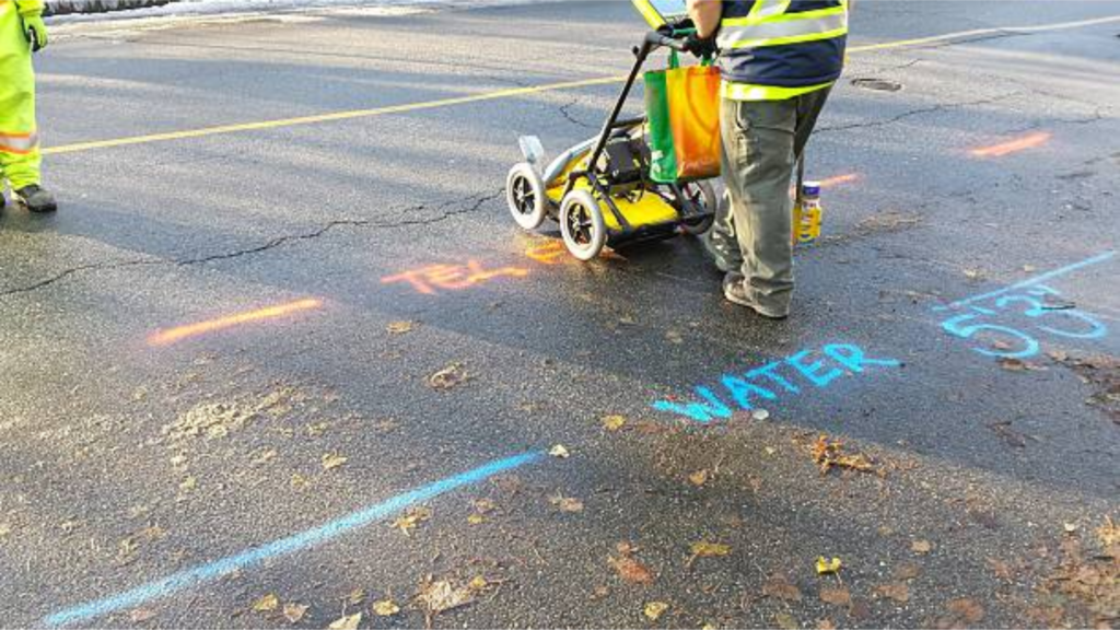
Ground Penetrating Radar (GPR)
We scan paved surfaces and detect both metallic and non-metallic utilities, even in layered infrastructure corridors.
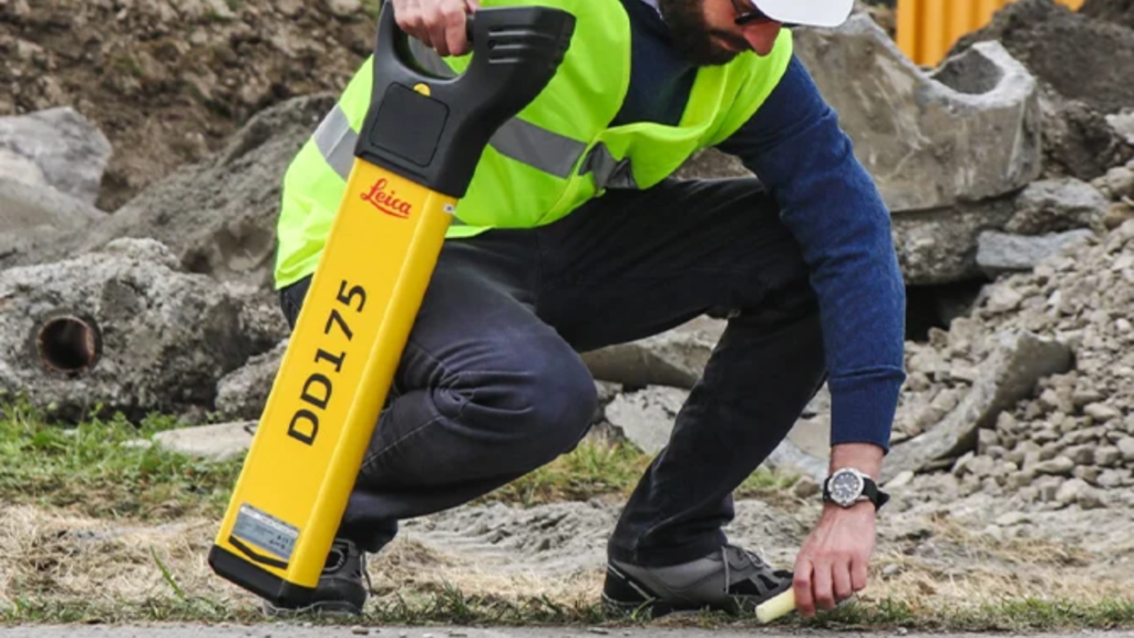
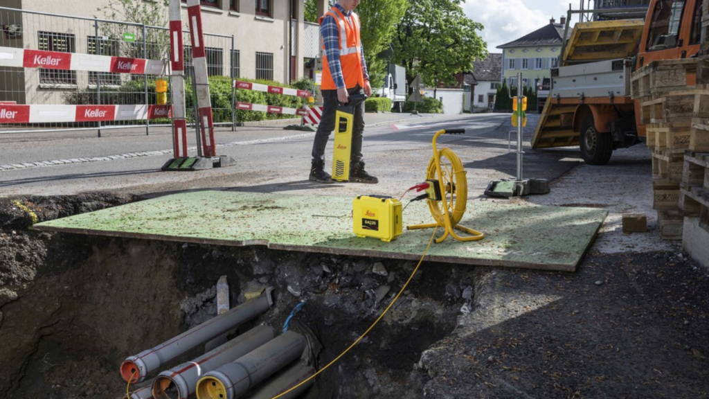
Electromagnetic Utility Locating
Allows us to trace conductive systems and verify horizontal alignment and depth estimates.
GPS & CAD Integration
Field data is converted into detailed digital utility maps that engineers and contractors can integrate directly into project plans.
Supporting Public & Private Projects
Our Utility Mapping Services in San Francisco County support:
- Street reconstruction projects
- Commercial building redevelopment
- Utility relocations and upgrades
- Transportation infrastructure improvements
- Campus and institutional construction
As licensed General A Engineering and General Contractor B contractors, we understand the excavation challenges that come with urban construction. Our mapping is designed to reduce risk, prevent costly change orders, and keep projects compliant with municipal standards.
Why Choose Devco in San Francisco County?
- Experience in dense urban environments
- Advanced subsurface detection equipment
- Construction-focused approach
- Clear, professional deliverables
- Commitment to safety and accuracy
Before breaking ground in San Francisco County, rely on Devco Development & Engineering for Utility Mapping Services that protect your project and provide the clarity you need to move forward confidently.