Utility Mapping Services in Santa Cruz County
Devco Development & Engineering provides accurate and dependable Utility Mapping Services throughout Santa Cruz County. From coastal communities like Santa Cruz and Capitola to inland areas such as Scotts Valley and Watsonville, underground utility systems play a critical role in supporting residential neighborhoods, commercial properties, agricultural operations, and public infrastructure.
Santa Cruz County presents unique subsurface challenges due to its coastal geography, varying soil conditions, hillside development, and aging infrastructure. Excavation projects in these environments require a clear and reliable understanding of what lies below the surface. Our utility mapping services are designed to eliminate uncertainty and reduce the risk of costly underground utility strikes.
Understanding Subsurface Conditions in Santa Cruz County
Coastal moisture levels, sandy soils, and hillside construction zones can complicate excavation and trenching operations. Additionally, many areas of Santa Cruz County contain older municipal infrastructure combined with newer expansions, creating layered underground corridors that require precise detection methods.
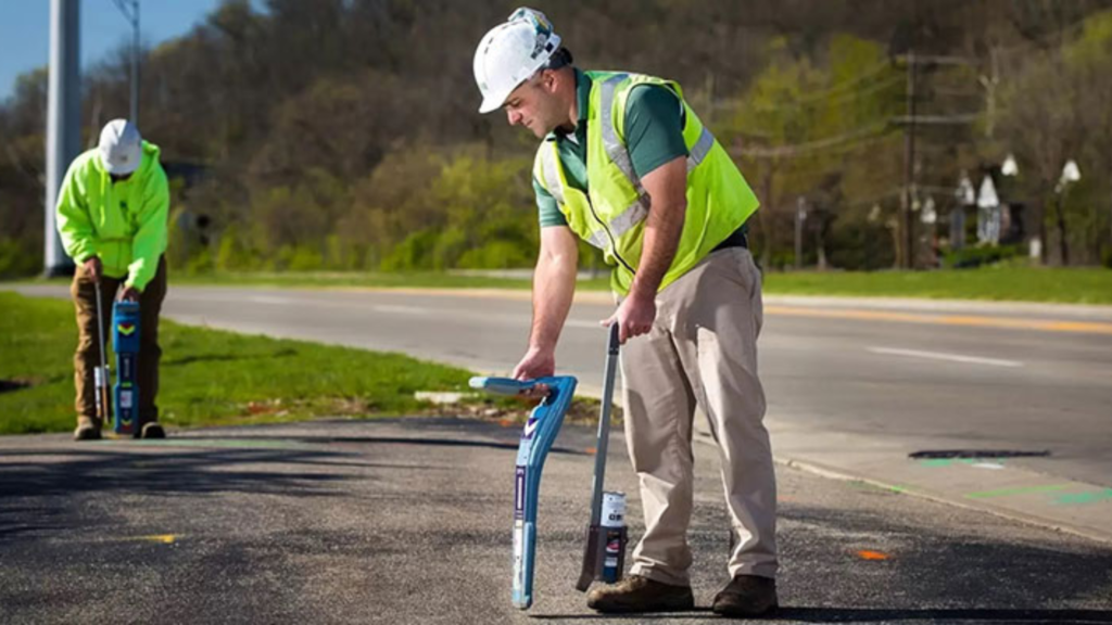
Our team uses advanced technology and construction-based expertise to accurately locate and document underground utilities before work begins.
Utilities We Identify and Map
- Natural gas lines
- Electrical conduit systems and service feeds
- Municipal water mains and irrigation systems
- Sanitary sewer lines and septic infrastructure
- Storm drain systems
- Telecommunications and fiber optic cables
- Private and undocumented utility installations
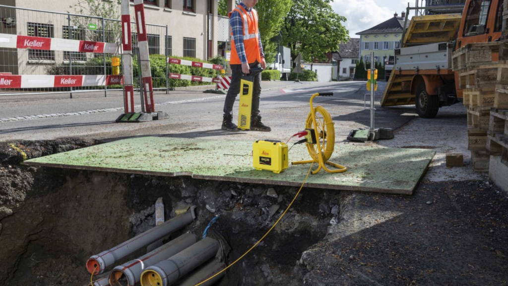
Our Mapping Process
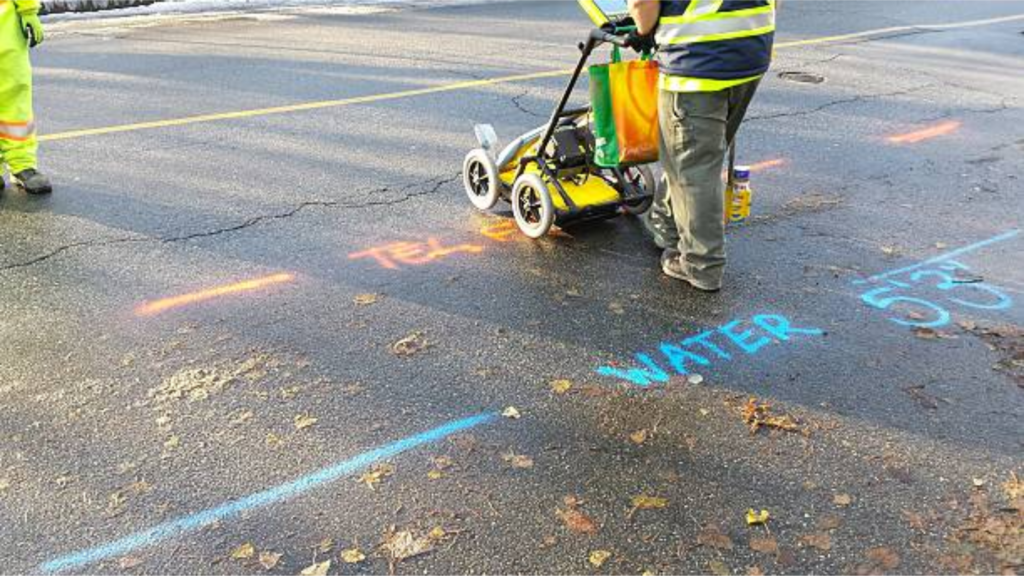
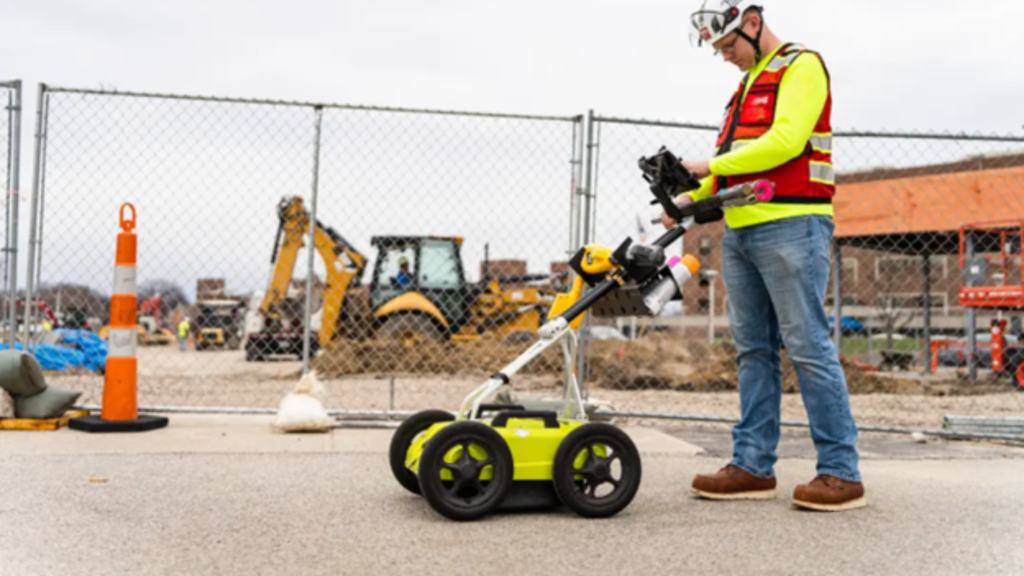
Ground Penetrating Radar (GPR)
Allows us to detect metallic and non-metallic underground utilities beneath soil, asphalt, and concrete.
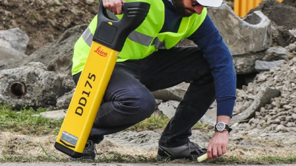
Electromagnetic Utility Locating
Used to trace conductive systems such as gas and electrical lines and estimate depth.
GPS Data Collection
We digitally capture horizontal positioning to ensure accurate mapping.
CAD Utility Base Maps
All findings are compiled into organized, professional deliverables ready for engineering design and construction planning.
Projects We Support in Santa Cruz County
- Residential subdivision development
- Commercial redevelopment projects
- Coastal infrastructure improvements
- Roadway upgrades and public works projects
- Agricultural facility enhancements
As licensed General A Engineering and General Contractor B professionals in California, we approach mapping with real construction insight. We understand grading requirements, trenching logistics, and excavation safety standards.
Why Choose Devco in Santa Cruz County?
- Experience in coastal and hillside conditions
- Advanced subsurface detection equipment
- Construction-driven perspective
- Clear, engineer-ready CAD deliverables
- Commitment to safety and project efficiency
Before starting excavation in Santa Cruz County, partner with Devco Development & Engineering for Utility Mapping Services that provide clarity, confidence, and protection for your project.