Utility Mapping Services in Tulare County
Devco Development & Engineering provides comprehensive Utility Mapping Services throughout Tulare County. From Visalia and Tulare to Porterville and surrounding agricultural regions, accurate underground utility information is essential for safe and efficient project execution.
Tulare County features a strong agricultural presence combined with expanding residential and commercial development. Underground infrastructure in this region often includes a mix of municipal utilities, irrigation systems, private service lines, and long transmission corridors. Without precise mapping, excavation projects can encounter unexpected conflicts that delay schedules and increase costs.
Addressing Rural & Urban Utility Challenges
Unlike dense metropolitan areas, Tulare County projects frequently involve large properties, agricultural irrigation networks, and privately installed utility systems that may not be fully documented. At the same time, growing communities require new subdivisions, commercial facilities, and infrastructure upgrades.
Our Utility Mapping Services provide the clarity needed to move forward confidently in both environments.
Utilities We Locate and Document
- Natural gas distribution and transmission lines
- Electrical primary and secondary conduit systems
- Municipal water mains and irrigation pipelines
- Sanitary sewer and septic systems
- Storm drainage infrastructure
- Telecommunications and fiber optic networks
- Private agricultural utility installations
Our Structured Mapping Process
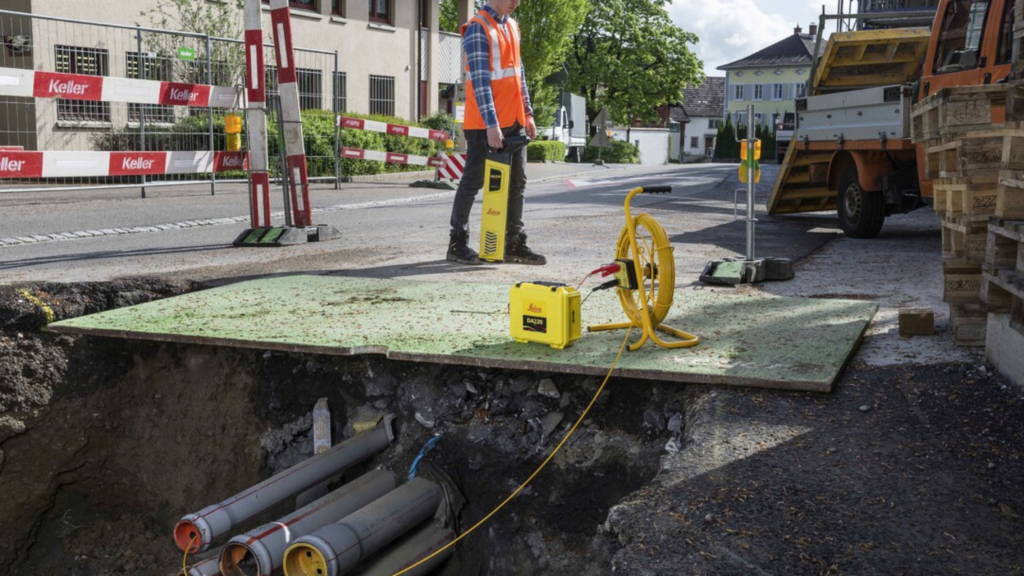
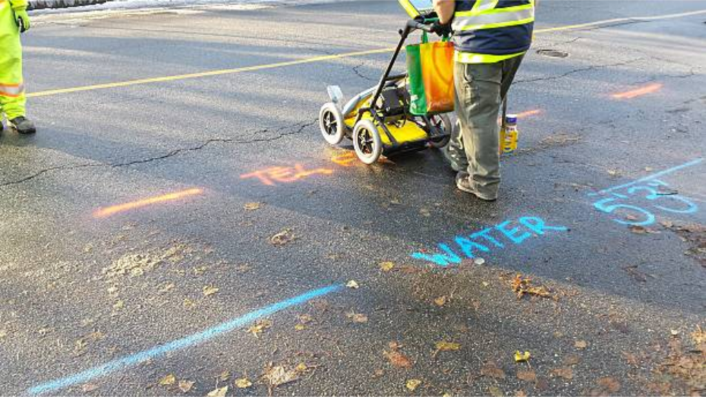
Ground Penetrating Radar (GPR)
Used to detect both metallic and non-metallic underground utilities beneath soil, asphalt, and concrete.
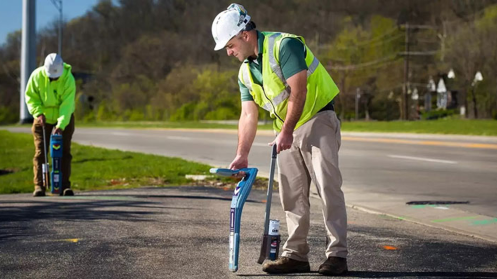
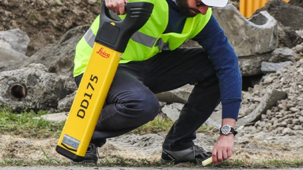
Electromagnetic Utility Locating
Traces conductive utilities such as gas and electrical lines with precision.
GPS Data Collection
Accurate horizontal positioning ensures reliable mapping integration.
Professional CAD Utility Base Maps
Deliverables are organized and formatted for seamless use in engineering and construction planning.
Projects We Support in Tulare County
- Agricultural facility improvements
- Residential subdivision development
- Commercial site construction
- Municipal infrastructure upgrades
- Utility relocation and expansion projects
As licensed General A Engineering and General Contractor B professionals in California, we understand the realities of trenching, grading, and excavation in agricultural and growing community environments. Our mapping services are designed to reduce risk and protect your investment.
Why Choose Devco?
- Experience in rural and agricultural infrastructure
- Advanced subsurface detection technology
- Construction-oriented approach
- Clear, engineer-ready deliverables
- Commitment to safety and efficiency
For Utility Mapping Services in Tulare County, Devco Development & Engineering delivers the accuracy and professionalism needed to support successful excavation and development projects.