Utility Mapping Services in Sonoma County
Devco Development & Engineering provides professional Utility Mapping Services throughout Sonoma County. From Santa Rosa and Petaluma to Rohnert Park and Healdsburg, underground utility infrastructure supports residential communities, commercial development, agricultural operations, and public works projects. Before any excavation begins, having an accurate understanding of subsurface conditions is critical.
Sonoma County presents a wide range of environments including urban downtown districts, vineyard and agricultural properties, industrial facilities, and coastal regions. Each location contains underground systems that may include decades-old infrastructure combined with newer installations. Without proper utility mapping, projects risk unexpected conflicts, service disruptions, and costly delays.
Why Utility Mapping is Critical in Sonoma County
As development continues and infrastructure upgrades expand across the county, underground corridors become increasingly complex. Roadway improvements, commercial redevelopment, and residential subdivision growth all require careful coordination with existing utilities.
Our Utility Mapping Services help:
- Prevent accidental utility strikes
- Reduce project delays and change orders
- Improve jobsite safety
- Support engineering design accuracy
- Provide dependable subsurface documentation
Utilities We Locate and Map
We identify and document a comprehensive range of underground systems, including:
- Natural gas transmission and distribution lines
- Electrical conduit and feeder systems
- Municipal water mains and irrigation lines
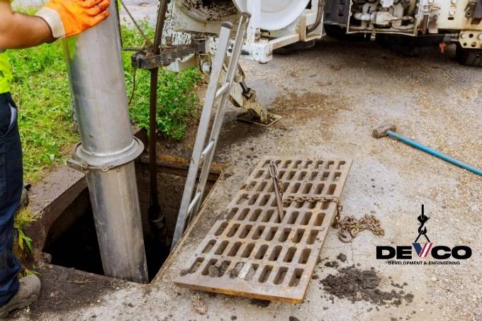
- Sanitary sewer and storm drain infrastructure
- Telecommunications and fiber optic networks
- Private utility installations
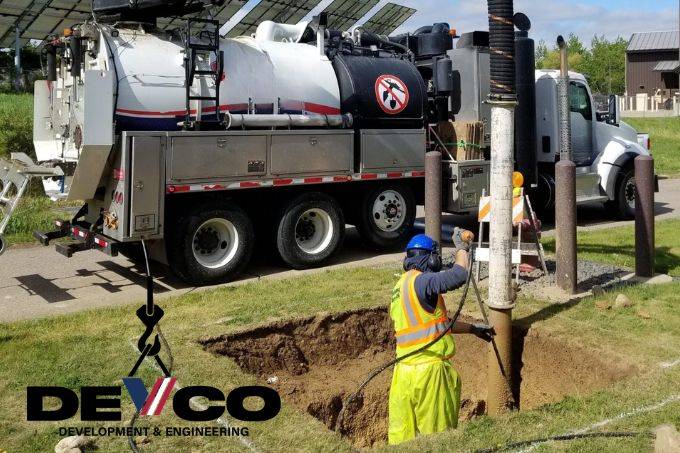
Our Proven Mapping Approach
Ground Penetrating Radar (GPR)
Allows us to detect both metallic and non-metallic utilities beneath soil, asphalt, and concrete.
Electromagnetic Utility Locating
Used to trace conductive systems with precision and estimate depth.
GPS Data Capture & CAD Drafting
Field data is converted into organized utility base maps suitable for engineering and construction planning.
Projects We Support in Sonoma County
- Residential subdivision development
- Commercial site improvements
- Agricultural facility upgrades
- Public infrastructure projects
- Roadway reconstruction and widening
As licensed General A Engineering and General Contractor B contractors in California, we understand the practical challenges of excavation, trenching, and grading. Our mapping services are designed to support real-world construction operations.
The Devco Advantage
- Experience in urban and agricultural environments
- Advanced subsurface detection technology
- Construction-driven perspective
- Professional, engineer-ready deliverables
- Commitment to safety and project efficiency
For Utility Mapping Services in Sonoma County, trust Devco Development & Engineering to provide accurate data and dependable results before you break ground.